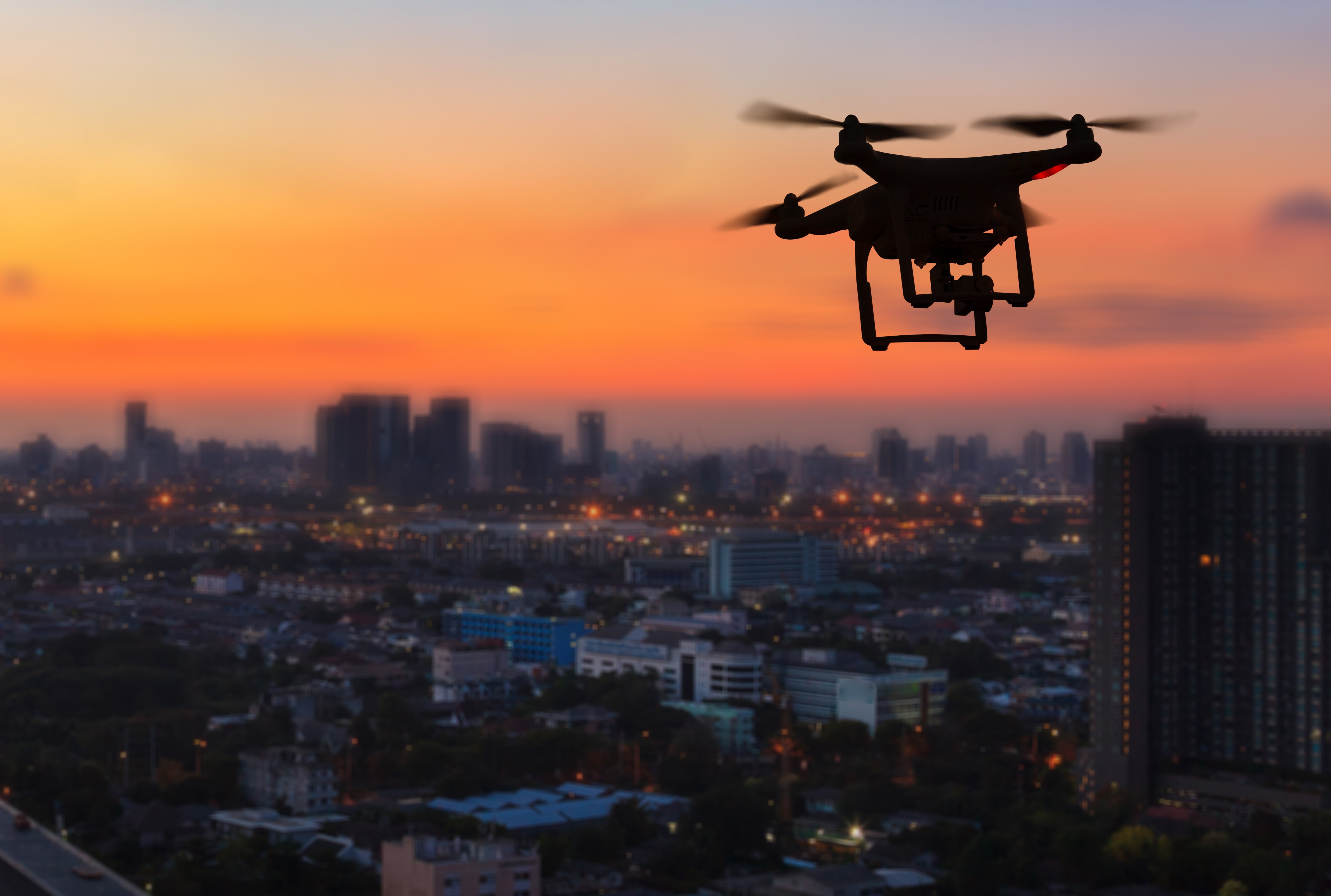
UAV DATA CAPTURE / UAV SERVICES:
The UAV Services we provide includes Aerial Mapping and Survey,
Infrastructure, and Construction.
With strides made in recent years in surveying technologies, the
use of drones for aerial surveys has attained the same level of
topographical accuracy as traditional methods of survey while
significantly reducing the amount of time and manpower required
for the job. Aerial mapping is the capturing of image data with a
combination of Real Time Kinematic (RTK) with centimetre-level
accuracy. Aerial surveys can be used for stockpile measurements,
slope analysis, land survey and cartography, land management and
development, and urban planning.
AERIAL MAPPING AND SURVEY
Using drone for surveying accurate and exhaustive data, while
reducing time, cost and manpower, especially in inaccessible
areas. Image is captured with combination of Real-Time
Kinematic (RTK) with centimeter-level accuracy. It can be used
for Stockpile measurement, Slope analysis, Land survey /
cartography, Land Management and development, as well as for
Urban Planning purposes. Deliverables are in the form of a
Digitalised map, Digital Elevation Model (DEM), Digital
Surface Model (DSM), and Digital Terrain Model (DTM).

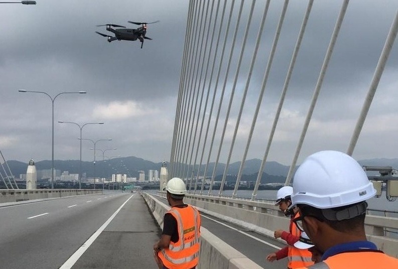
INFRASTRUCTURE
To automate routine inspection of important infrastructure:
○
Oil and gas
○ Solar energy
○ Telco and utilities
○ Transportation
Enable remote,
real-time analysis of equipment health:
○ Image of
infrastructure in normal RGB camera
○ Thermal
camera

CONSTRUCTION
In a construction industry, drone is an ideal tool for
capturing:
○ Construction site mapping
○ Site
progress monitoring
○ Site monitoring and building
inspection