GEOSPATIAL SERVICES THAT WE PROVIDE INCLUDES:
GIS / SPATIAL ANALYTICS
GIS/Spatial Analytics uses data from GPS and Geospatial imagery to create layered maps of geographic information in the form of geospatial visualisation. This can be utilised by various industries like utilities companies, urban planners, engineers, or any other fields that are dependent on visualisation and analysis of geographical data.

GNSS & POSITIONING
Global navigation satellite system (GNSS) and positioning
applies a coordinate system of location reference to every
point on earth, which is then used for navigation, indoor
positioning, and for surveying purposes.

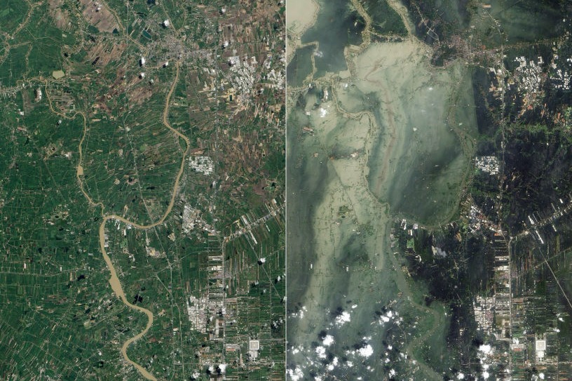
EARTH OBSERVATION
Earth Observation is the display of aerial data into the ArcMap or Skyline software system to derive instantaneous insights and guidelines to be used for business decision making. Aerial mapping is the capturing of image data with a combination of Real Time Kinematic (RTK) with centimetre-level accuracy.